Launch of MapBiomas Uruguay collection 2 and MapBiomas Pampa collection 4
Online event brings up-to-date data on herbaceous and shrub vegetation in Brazilian biomes. On the 24th, at 10:30 a.m.
The first collection of land use and land cover maps will be published on Tuesday, May 21.
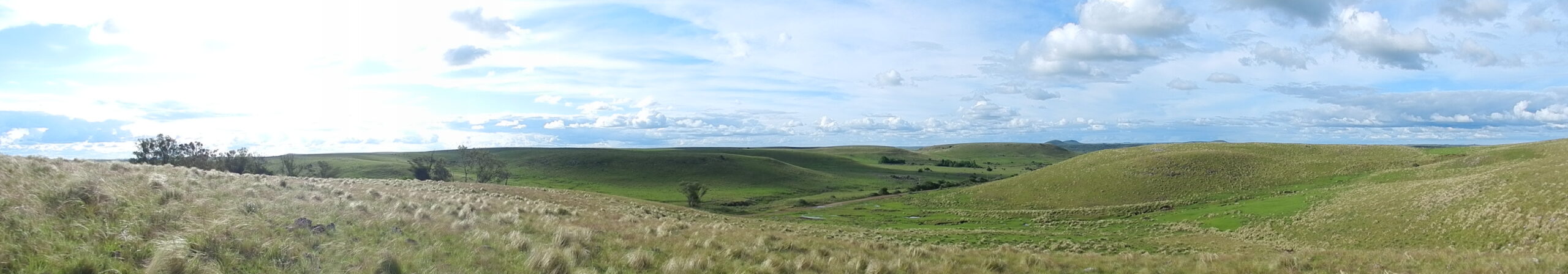
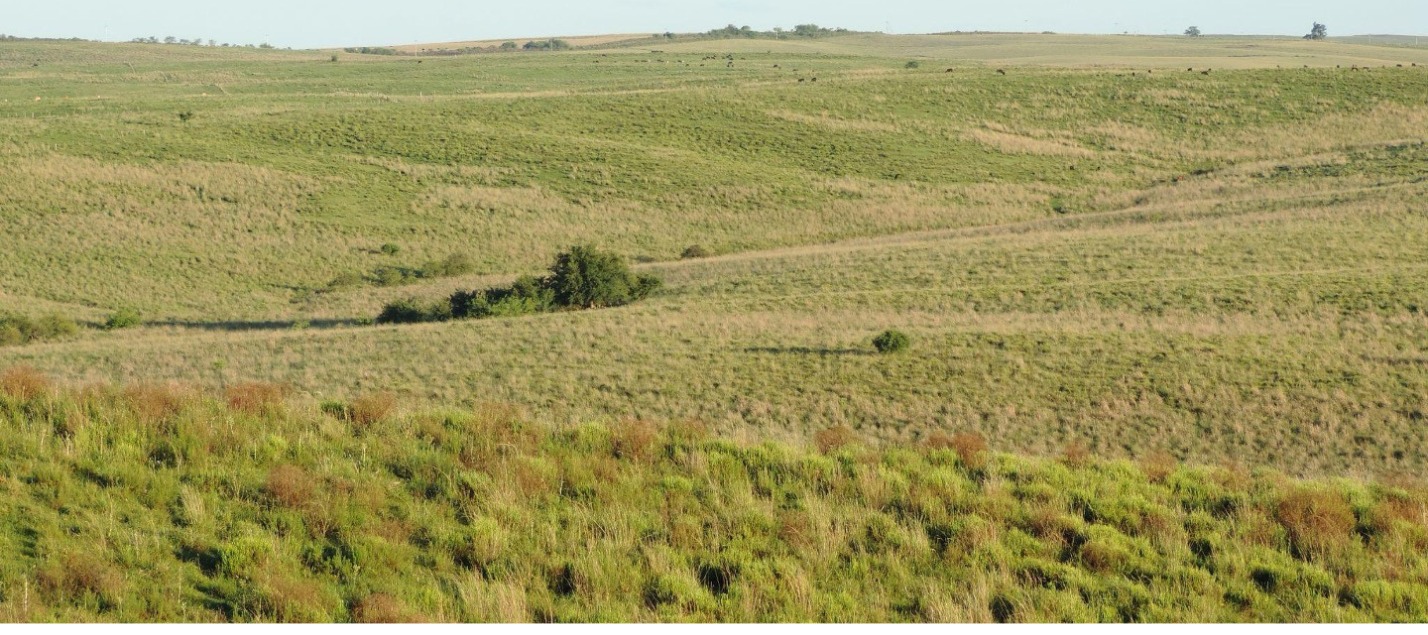
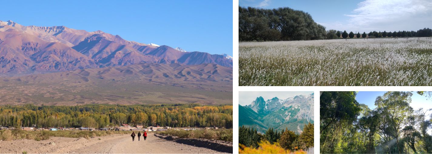
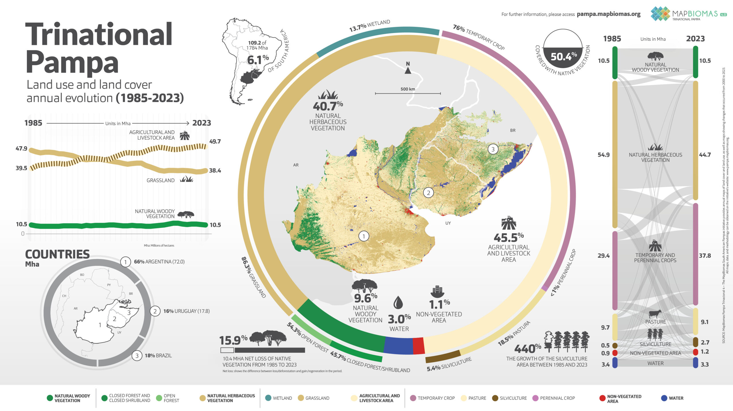
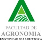
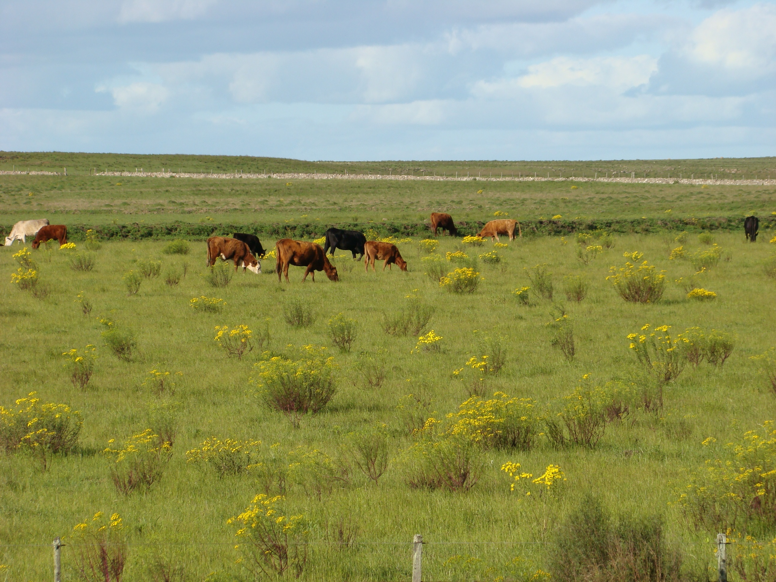
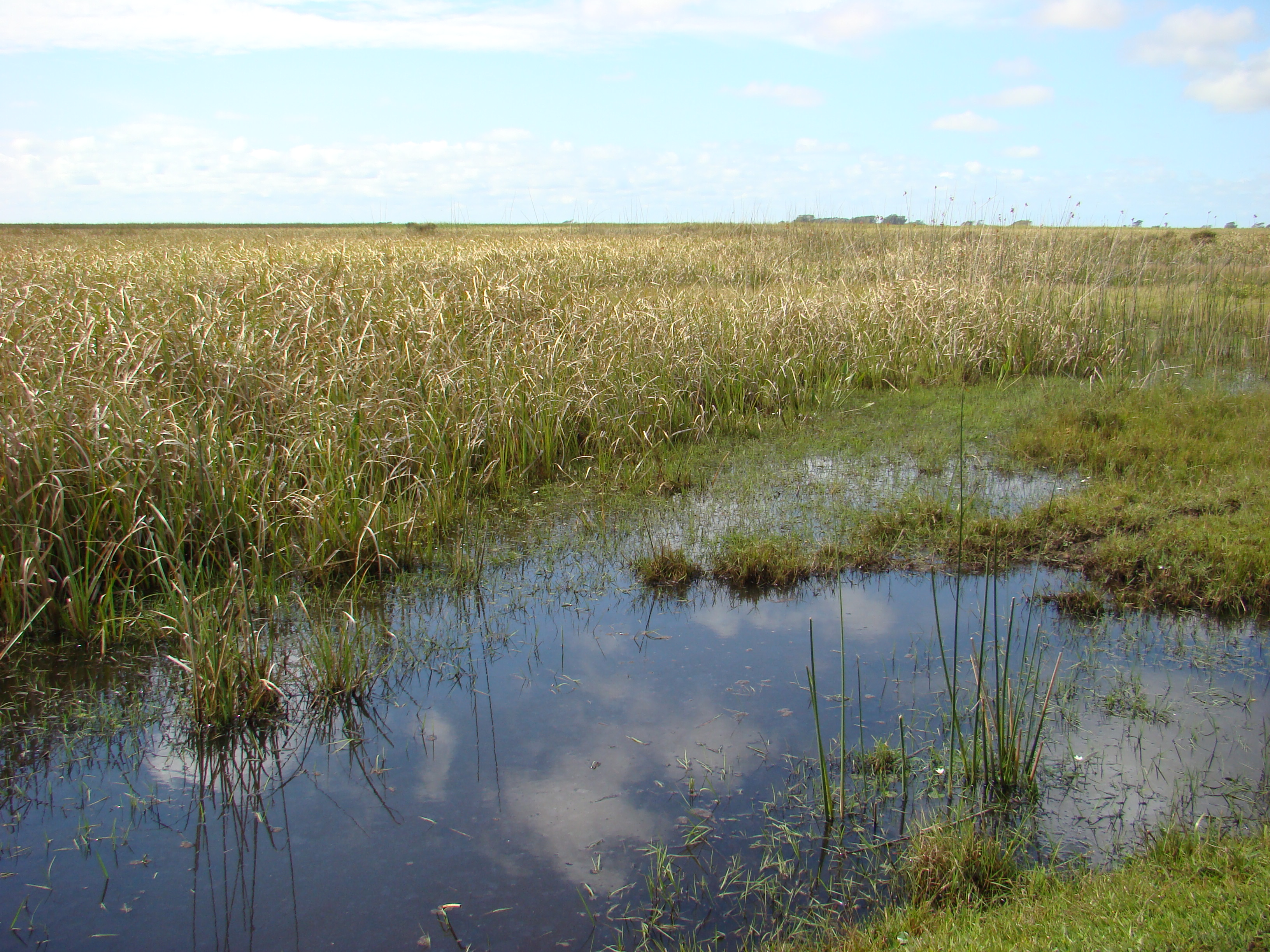
Main information on land cover and land use in Pampa Sudamericano
Annual data for 10 land cover and use classes in the Pampa biome between 1985 and 2023.
Main information on land cover and use in South American Pampa
Two decades of land cover mapping in the Río de la Plata grassland region: The MapBiomas Pampa initiative
Cover
Change
Statistics
Quality
PAMPA SUDAMERICANO
Conozca la metodología de MapBiomas Pampa y cómo fue organizada la red para generar los mapas y datos de cobertura y uso del suelo
Create custom maps
Join our forum
Access our FAQ
Data download